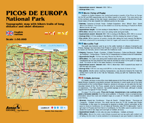
PICOS DE EUROPA NATIONAL PARK |
|||
Topographic map with hikers trails of long distance and short distance |
|||
Autor: Miguel Ángel Adrados |
ISBN: 978-84-940807-5-3 |
||
| Map of the National Park of the Picos de Europa, representing the three massifs and the peripheral mountains with contour lines every 20 meters and hypsometric tints. Toponymic and topographical information very complete and with marked hiking trails.
On the back of the map there is a detailed description of all the paths marked out by the park administration within its limits and those created by the autonomous communities in the periphery of the Park. The dimensions of the map are 98x70 centimeters (23x14 cm folded). |
|||

